|
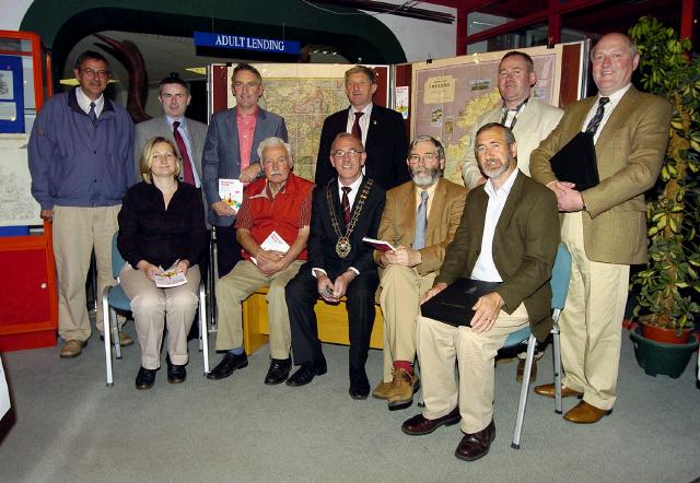
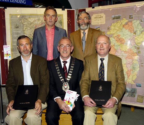
From Castlebar - County Mayo - Nostalgia A 200 year old map that was thought to be lost forever. Mayo Library has put on display a set of maps of the Lynch-Blosse Estates which date from the early 1800s and cover an area ranging from Balla to Lough Mask and Lough Carra and extending eastwards beyond Claremorris. This collection of maps was found in Balla Secondary School, formerly Athaville House, by the principal Mr. Patrick Sheridan and prior to that had been considered lost or destroyed for over a century. Mr Sheridan took care of the maps for many years when they could easily have been lost to the state. They were very generously entrusted to Mayo County Library who undertook to conserve them and digitise them in order to make them available over the Internet.
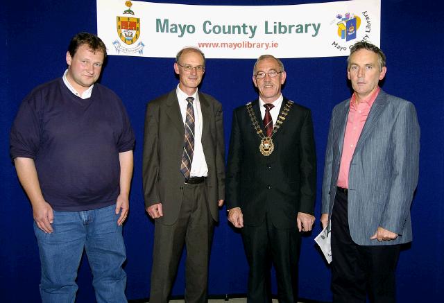
A second map which Mayo County Library has conserved and digitised is the beautiful Bald map of Mayo from the 1830s. It is considered to be the finest example of Irish cartography prior to the Ordnance Survey maps. The library has now made these maps available over the Internet which means anyone can study them in their own homes. The library is also running an exhibition of antiquarian maps some, dating from as back as the 16th century, during the week.
These and other old maps can be viewed online on the Mayo Maps Online website. To view the maps it is necessary to install a special map viewer plug-in on your computer.
© Copyright 2007 by Castlebar - County Mayo - |